
Meest populaire keuze – Scherpste prijs!

Amazon.be· Bekende aanbieder
€ 171,19
3 tot 4 dagenGratis verzending
Check de website voor de levertijd | Gratis bezorgd > €20,-


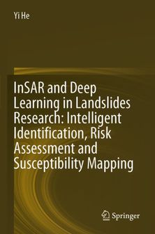
This book combines remote sensing and deep learning technology to develop a variety of models in the study of different type landslides in a wide range of areas including northwest, southwest and southern China.
This book combines remote sensing and deep learning technology to develop a variety of models in the study of different type landslides in a wide range of areas including northwest, southwest and southern China. It explores the application of various deep learning methods in landslide identification and sensitivity mapping. It also explores intelligent landslide monitoring and susceptibility mapping using a variety of data and methods, providing ideas and methods for landslide prevention and mitigation. This book is suitable for professionals in the field of landslide monitoring and graduate students in the fields of remote sensing and geological hazards research to mitigate this most widespread and harmful geological hazards in the world.
Heb jij dit product in bezit en wil je graag je mening geven? Start dan hieronder met het schrijven van je review. Afhankelijk van de details duurt het schrijven van een review gemiddeld tussen de 3 en 10 minuten. Met jouw mening help je andere bezoekers een betere keuze te maken én maak je iedere maand kans op €250,-! Klik hier voor de actievoorwaarden.
