
Choix le plus populaire – Meilleur prix !

Amazon.be· Vendeur reconnu
€ 171,19
3 à 4 joursLivraison gratuite
Check de website voor de levertijd | Gratis bezorgd > €20,-


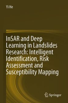
This book combines remote sensing and deep learning technology to develop a variety of models in the study of different type landslides in a wide range of areas including northwest, southwest and southern China.
This book combines remote sensing and deep learning technology to develop a variety of models in the study of different type landslides in a wide range of areas including northwest, southwest and southern China. It explores the application of various deep learning methods in landslide identification and sensitivity mapping. It also explores intelligent landslide monitoring and susceptibility mapping using a variety of data and methods, providing ideas and methods for landslide prevention and mitigation. This book is suitable for professionals in the field of landslide monitoring and graduate students in the fields of remote sensing and geological hazards research to mitigate this most widespread and harmful geological hazards in the world.
Tu possèdes ce produit et tu aimerais donner ton avis ? Commence ci-dessous à écrire ton avis. Selon le niveau de détail, écrire un avis prend en moyenne entre 3 et 10 minutes. Avec ton opinion, tu aides les autres visiteurs à faire un meilleur choix et tu tentes chaque mois de gagner 250 € ! Clique ici pour les conditions de l’action.
