Description du produit
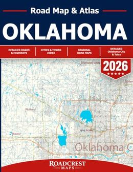
Oklahoma Road Map & Atlas 2026From Oklahoma City and Tulsa to small towns, open highways, lakes, and scenic southeastern Oklahoma - explore more with every mile.The Oklahoma Road Map & Atlas 2026 is designed for travelers who want more than a blue line on a screen. Whether you're planning a cross-state road trip, heading to the lake, exploring smaller communities, traveling for work, or simply want a reliable printed map in your vehicle, this atlas gives you a broader view of Oklahoma and the roads that connect it.With 90+ detailed statewide map sections, the atlas covers Oklahoma from the Panhandle to the eastern border and from northern communities to the Red River, including highways, regional and local roads, cities, towns, rural communities, lakes, reservoirs, and destinations throughout the state.Explore Oklahoma in greater detail- Extensive statewide road-map coverage featuring major routes, local roads, cities, towns, rural areas, waterways, and communities across Oklahoma.- Travel through major destinations including Enid, Stillwater, Bartlesville, Broken Arrow, Muskogee, Lawton, Ardmore, McAlester, Ponca City, Guymon, Woodward, and many more.- Explore popular recreation areas including Broken Bow & Hochatown, with detailed coverage around Broken Bow Lake and surrounding communities.- Discover Lake Texoma and surrounding destinations, including Willis, Marietta, Fobb, and nearby communities.- Explore northeastern Oklahoma around Grand Lake o' the Cherokees, including Vinita, Afton, Fairland, Grove, Wyandotte, and neighboring communities.- Dedicated Oklahoma City detailed maps cover Northwest, North, East, Southwest, South, and Southeast Oklahoma City, plus areas around Lake Hefner, Lake Overholser, Moore, Mustang, Choctaw, and Stanley Draper Lake.- Dedicated Tulsa detailed maps provide closer coverage of West, North, East, and South Tulsa as well as Catoosa, Sapulpa, Jenks, and surrounding areas.Perfect for Oklahoma road trips, RV travel, lake weekends, everyday driving, relocation planning, business travel, regional exploration, and anyone who wants a dependable printed navigation reference alongside GPS.A printed atlas lets you see more than the next turn - it helps you understand where the highways lead, what communities are nearby, and what you might discover along the way.Plan the route. Explore beyond the highway. Discover Oklahoma with confidence.