Description du produit
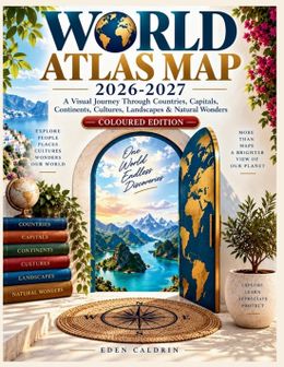
WORLD ATLAS MAP 2026-2027Explore the world from a new perspective.World Atlas Map 2026-2027 is a colorful visual journey through the countries, continents, landscapes, cultures, cities, and geographic features that shape our planet. Designed as an accessible reference for curious readers, students, travelers, families, and geography enthusiasts, this atlas brings the world's geography together in one convenient volume.Inside, discover: Detailed political and physical maps of the world's continents and regionsCountries and capitals from around the globeMajor mountains, rivers, lakes, islands, deserts, and oceansPopulation patterns, major cities, and metropolitan regionsLanguages, religions, cultures, food, arts, and traditionsGlobal agriculture, natural resources, energy, manufacturing, and tradeMajor international trade routes and transportation networksClimate zones, weather systems, biodiversity, and environmental challengesForests, water resources, protected areas, and marine ecosystemsGeographic extremes, including remarkable mountains, rivers, lakes, islands, and other natural featuresWorld time zones, latitude and longitude, and the global geographic gridQuick-reference information about countries, populations, land areas, and other geographic factsFrom the highest mountain ranges to the deepest ocean environments, from enormous metropolitan regions to remote polar landscapes, this atlas reveals how the physical and human worlds are connected.Follow rivers across continents. Compare countries and regions. Discover where people live, how landscapes have formed, how cultures have developed, and how trade and transportation connect distant parts of the planet.Whether you are studying geography, planning your next journey, teaching a curious learner, or simply fascinated by the world around you, World Atlas Map 2026-2027 provides an engaging way to explore Earth page by page.Open the atlas, explore the maps, and discover the extraordinary diversity of our world.